
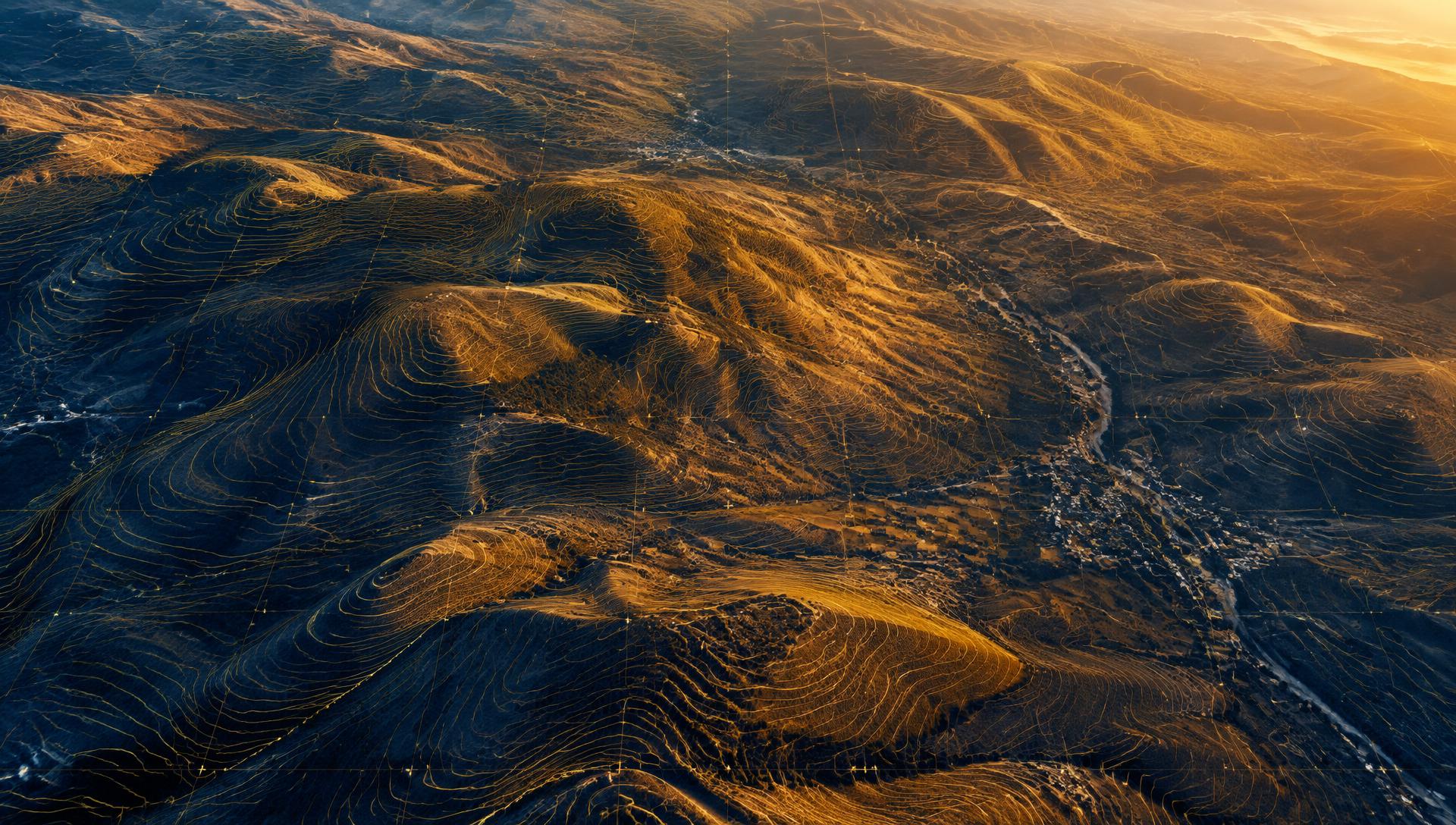
مكتبان في دمشق وحلب — خدماتنا تشمل جميع أنحاء سوريا
خدمات المسح الطبوغرافي والحلول الجغرافية في جميع أنحاء سوريا
تقدّم ماديكس خدمات المسح الطبوغرافي والمسح بالدرون، وتوفير وتحليل الصور الفضائية، وحلول نظم المعلومات الجغرافية GIS. من مكتبَينا في دمشق وحلب، نخدم المشاريع في جميع المحافظات السورية، ونوفّر البيانات والخرائط اللازمة للتخطيط والتصميم والتنفيذ ومتابعة الأعمال.
خبرات مهنية وتقنية متراكمة من ألمانيا والسويد، وحضور محلي من دمشق وحلب.
خدماتنا
خدمات مساحية وجغرافية متكاملة
 01خدمتنا الأساسية
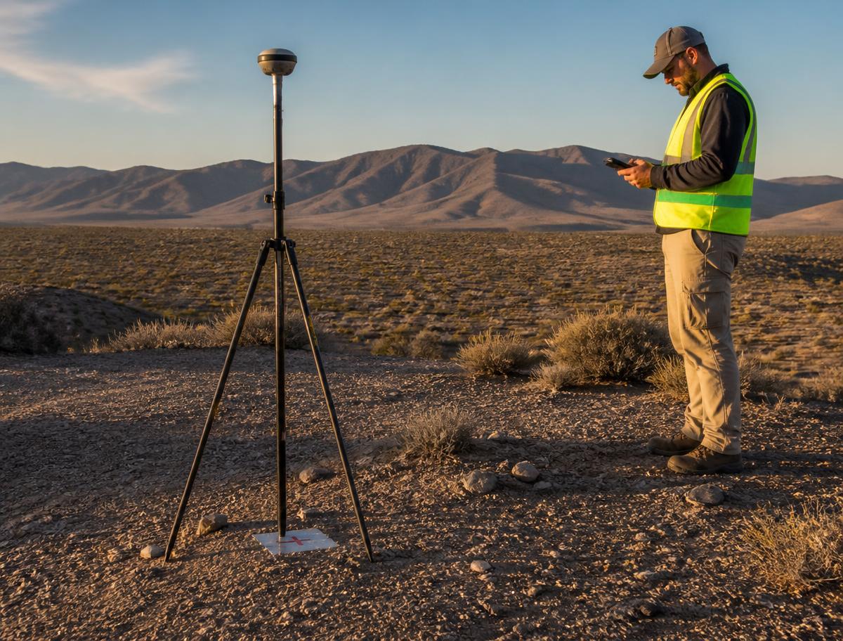
المسح الطبوغرافي والأعمال المساحية
رفع تفاصيل الموقع والمناسيب، المخططات الطبوغرافية، التوقيع المساحي والرفع بعد التنفيذ.
تفاصيل الخدمة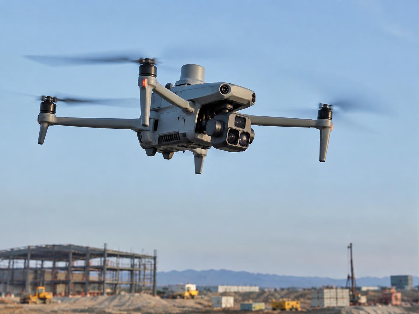 02
02المسح الجوي بالدرون
صور جوية مصحّحة، سحب نقطية ونماذج تضاريس لمواقع ومساحات واسعة.
تفاصيل الخدمة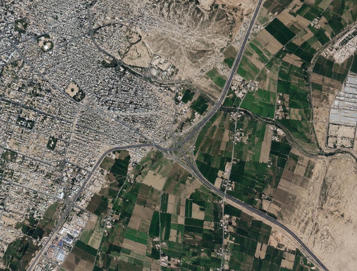 03
03توفير الصور الفضائية
صور فضائية حديثة أو أرشيفية لمنطقة اهتمامك بالدقة والتاريخ المناسبين.
تفاصيل الخدمة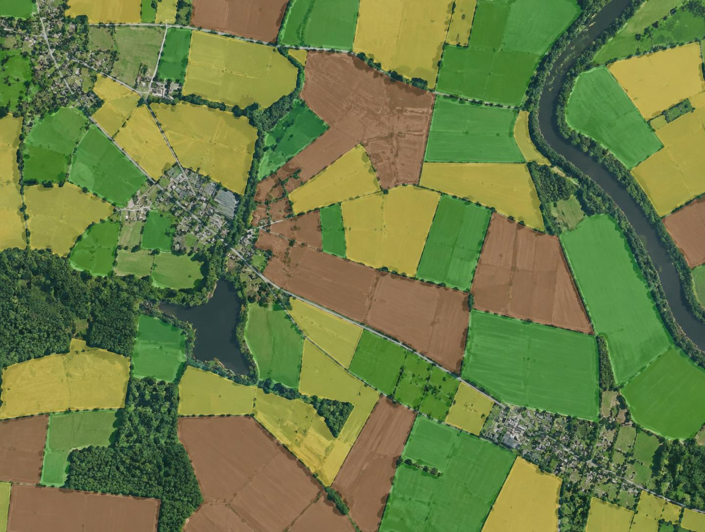 04صورة توضيحية
تحليل الصور الفضائية والاستشعار عن بُعد
تصنيف الغطاء الأرضي ورصد التغيّرات والتوسع العمراني ومؤشرات الغطاء النباتي.
تفاصيل الخدمة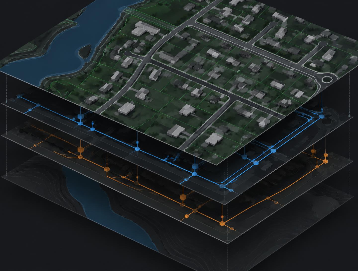 05صورة توضيحية
نظم المعلومات الجغرافية GIS
رقمنة المخططات وبناء قواعد بيانات مكانية وخرائط للأراضي والأصول والشبكات.
تفاصيل الخدمة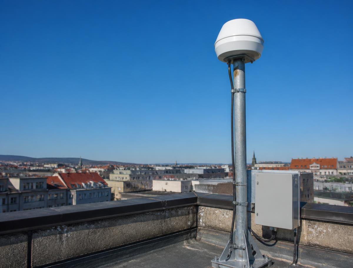 06
06شبكة RTK وحلول المحطات المرجعية
اشتراك في شبكة MADIX RTK القائمة، أو محطة مرجعية مخصّصة لمشروعك.
تفاصيل الخدمةالمخرجات
مخرجات تساعدك على اتخاذ القرار
المخططات الطبوغرافية
تفاصيل الموقع والمناسيب بصيغ PDF وDWG.
خطوط الكنتور
تمثيل التضاريس بفواصل مناسبة للتصميم.
الأورثوفوتو
صورة جوية مصحّحة قابلة للقياس.
نماذج التضاريس
نماذج DTM/DSM لحساب الكميات والتحليل.
خرائط التحليل الفضائي
غطاء أرضي وتغيّرات ومؤشرات نباتية.
قواعد بيانات GIS
طبقات منظمة مرتبطة بالبيانات والوثائق.
تُحدَّد المخرجات وصيغ التسليم بحسب نطاق كل مشروع.
نطاق الخدمات
نخدم مشاريعكم في جميع أنحاء سوريا
من مكتبَينا في دمشق وحلب، نقدّم خدمات المسح الطبوغرافي والمسح بالدرون والصور الفضائية ونظم المعلومات الجغرافية للمشاريع في جميع المحافظات السورية
القطاعات
القطاعات التي نخدمها
الإنشاءات والتطوير العقاري
رفع المواقع والتوقيع والرفع بعد التنفيذ.
الطرق والبنية التحتية
مقاطع ومحاور وكميات ومتابعة التنفيذ.
التخطيط العمراني والبلديات
خرائط أساسية وGIS ورصد التوسع.
الزراعة والبيئة
مؤشرات الغطاء النباتي وتصنيف الأراضي.
المشاريع الصناعية
مسح المواقع والمقالع وحساب المخزون.
آلية طلب الخدمة
من الطلب إلى تسليم النتائج
- 1
أرسل المتطلبات وموقع المشروع
- 2
نحدّد نطاق العمل والمخرجات
- 3
نقدّم عرضاً فنياً ومالياً
- 4
التنفيذ والمراجعة وتسليم النتائج
شبكة RTK وحلول المشاريع
خياران للعمل بدقة RTK
المسار الأول
الاشتراك في شبكة MADIX RTK القائمة
للعمل ضمن مناطق التغطية المتاحة، بعد التحقق من موقع المشروع وتوافق جهازك.
المسار الثاني
محطة RTK مخصّصة للمشاريع الكبيرة
مشروعك خارج التغطية الحالية؟ نوفّر حلول RTK مخصّصة للمشاريع الكبيرة، تشمل تجهيز محطة مرجعية وتشغيلها طوال فترة التنفيذ وفق متطلبات المشروع.
اطلب دراسة لمشروعكأخبار ماديكس وفعالياتها
جميع الأخبار والفعاليات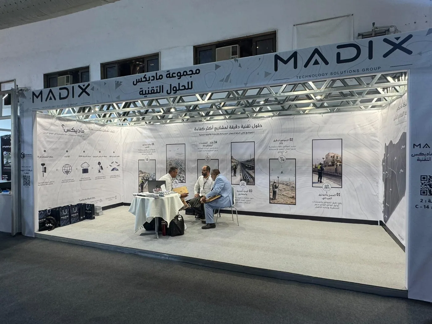
أخبرنا عن مشروعك لنحدّد الخدمة والمخرجات المناسبة
مكتبان في دمشق وحلب — خدماتنا تشمل جميع أنحاء سوريا